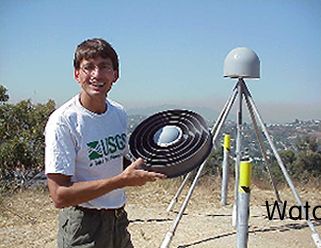


John
Galetzka, SCIGN Network Coordinator, holds a GPS antenna on top of the
SCIGN site at Occidental College in Los Angeles. (The antenna actually
sits inside the GPS "globe" in the background.)
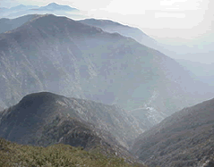
Shrouded
in early morning fog/smog, the 113-meter-tall Pacoima Dam was constructed
in the 1920s.
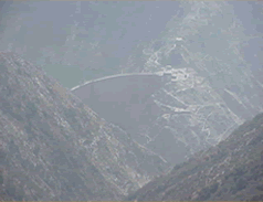
A
GPS receiver is bolted to the face of the dam and sends continuous information
up to satellites orbiting the earth.